


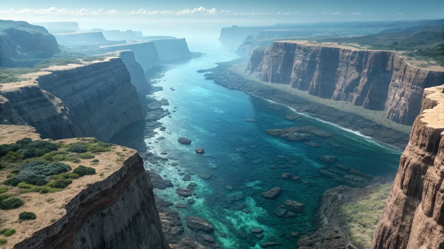
About 1,000 kilometers west of Portugal, a colossal canyon system cuts across the Atlantic seafloor, rivaling and even surpassing the Grand Canyon in scale. The formation, known as the King’s Trough Complex, extends for roughly 500 kilometers and was shaped by tectonic forces that once pulled the ocean floor apart. Its size and origin are reshaping how researchers view deep-ocean geology in the Northeast Atlantic.
The canyon lies far offshore, hidden beneath kilometers of water. Yet its reach is drawing new attention from ocean scientists and policymakers. They see not only a geological marvel, but also a frontier for mapping, ecology, and hazard planning in a region threaded with shipping routes and data cables.
Geology and Origins
Unlike many submarine canyons formed by rivers and sediment flows, the King’s Trough Complex was carved by Earth’s shifting plates. It is a system of trenches and deep basins produced by rifting and faulting on the ocean floor. This tectonic story separates it from erosional canyons found closer to continental shelves.
“Far beneath the Atlantic Ocean, about 1,000 kilometers off Portugal’s coast, lies a colossal underwater canyon system that dwarfs even the Grand Canyon… formed not from rushing water, but from dramatic tectonic forces that once tore the seafloor apart.”
Geologists say such troughs can mark past plate boundaries or failed rifts. Their steep walls and step-like faults record the timing and intensity of ancient stresses. By studying sediment layers trapped in the basins, teams can date past episodes of seafloor movement and volcanic activity.
Why It Matters Now
The canyon’s size has practical consequences. Steep slopes and unstable sediments can host landslides that trigger small tsunamis or damage undersea cables. With more countries placing wind farms and interconnectors offshore, understanding the terrain is critical for safe design.
There is also scientific payoff. Tectonic canyons can funnel nutrient-rich waters and create unique habitats. Cold-water corals, sponges, and deep-sea fish often colonize ledges and cliffs. Mapping these features helps agencies consider protected areas while balancing fishing and energy interests.
Ecology in the Depths
Life in deep canyons depends on currents, rock types, and the availability of hard surfaces. The King’s Trough Complex offers all three. Its fractured walls can act as ladders for species moving up and down the water column. The basins can trap organic matter, feeding bottom communities.
Researchers plan to test whether different segments of the trough host distinct ecosystems. Temperature, oxygen, and food supply can shift quickly with depth, creating micro-habitats within a short horizontal distance.


Mapping the Unknown
Much of the global seafloor remains poorly charted. The international Seabed 2030 project reports that a large share of the ocean floor has yet to be mapped at high resolution. That gap limits hazard models and blinds planners to seafloor features that matter for cables and pipelines.
- High-resolution maps guide safer cable routes.
- Better data improves tsunami and landslide models.
- Detailed imagery supports marine protection decisions.
New multibeam sonar surveys and autonomous vehicles can scan steep canyon walls. Combined with seismic data, they reveal faults and sediment layers in three dimensions, giving a clearer picture of how the trough evolved and how it might behave in the future.
Competing Views and Open Questions
Some scientists emphasize the role of tectonics, while others point to later reshaping by turbidity currents—dense, fast-moving flows of sediment. Both forces may be at work. Sorting their contributions will require core samples and repeated surveys to catch changes over time.
Key questions remain. How often do slope failures occur? Which sections are most active? Are habitats patchy or continuous along the 500-kilometer stretch? Answers will guide engineering and conservation decisions across the Northeast Atlantic.
The King’s Trough Complex highlights how much of Earth’s geology still lies out of sight. Its tectonic roots, grand scale, and potential hazards make it more than a curiosity. Expect new cruises to map fault scarps, sample sediments, and survey deep habitats. The findings could refine regional hazard plans, inform cable routing, and shape future marine protections—turning a hidden canyon into a guide for safer and smarter use of the ocean.