


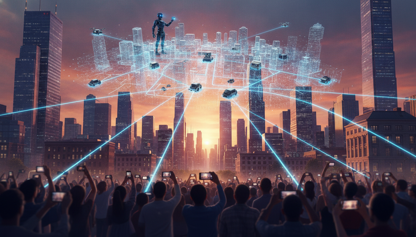
Millions of photos taken by gamers and tourists are quietly helping build digital twins of real cities, a shift that could guide the next wave of robots and delivery devices. The idea is simple and timely: public images, stitched with artificial intelligence, can form detailed 3-D maps that machines follow in the real world.
The promise is clear. If robots can read a city’s shape as people do, they can move with fewer mistakes and less costly hardware. The approach has gained steam as smartphone cameras get better, image platforms grow, and AI models improve at turning flat photos into depth and structure.
How Photos Become City-Scale Maps
AI tools can analyze many pictures of the same landmark from different angles, then infer its shape and position. With enough overlap, software assembles buildings, streets, and signs into a continuous model. One speaker summarized the pipeline this way:
Players often upload pictures of landmarks. AI can use these to build a virtual 3-D model of a city, which robots might use like a map to navigate the real thing.
Researchers have used related methods for years, including structure-from-motion and newer neural techniques that estimate depth and lighting. What is changing now is scale. Photo streams from games, social apps, and travel sites give AI far more angles and times of day than a single mapping van can capture.
Why Games Are a Quiet Data Engine
Location-based games ask players to photograph murals, statues, and plaques to claim points or unlock challenges. Those pictures often include context like street corners, trees, and storefronts. Over time, the collection becomes a living record. Companies have already tested similar ideas to anchor augmented reality on sidewalks and parks.
These images carry extra value for robots. They show not just where things are, but how places look when crowded or in bright sun or rain. That variety helps navigation systems handle glare, shadows, or scaffolding that might confuse a simple GPS fix.
What Robots Gain, and What They Still Need
Robots rely on maps to plan routes and avoid hazards. Vision-based maps built from public photos can reduce dependence on costly lidars. They can also improve in spots where GPS is weak, like urban canyons.
- Richer detail: textures, signs, and curb edges aid localization.
- Lower cost: cameras and compute are cheaper than dense sensor arrays.
- Faster updates: new photos can refresh models as streets change.
Limits remain. Moving objects, temporary scaffolds, and seasonal changes can confuse matching. Many photos are taken at eye level, which may not suit tall robots or ground bots in tight aisles. Night scenes and bad weather still pose challenges. Engineers often combine photo-based maps with live sensing to fill gaps.

Privacy, Consent, and Data Gaps
Turning public photos into machine maps raises questions. People did not always intend their vacation shots to guide a sidewalk robot. Faces and license plates may appear in source images. Standard safeguards include blurring, opt-out tools, and limits on retention. Clear labeling of how photos are used can build trust.
There is also the risk of bias. Tourist areas get many images, while quiet neighborhoods may be left out. That could make navigation better for some routes and worse for others. Companies may need targeted photo drives or partnerships with cities to fill holes.
Where This Could Go Next
Warehouses and campuses are early test beds, since they change less and offer controlled access. City services could benefit too. Street inspectors might compare new photo-derived models with older ones to flag cracked curbs or blocked signs. Small delivery robots could rely on the same data for safer crossings.
Better on-device AI will matter. If robots can match what they see to a cached 3-D model quickly and offline, they can keep moving even when networks drop. Periodic model updates, tied to fresh community photos, would then restore accuracy.
The idea that public images can power real-world navigation is moving from concept to practice. The technical pieces exist, and the data supply is steady. The next steps are policy choices and careful rollout. If privacy is protected and blind spots are fixed, photo-built maps could make robots more useful and less costly. Watch for pilot programs that focus on safety, transparency, and measurable gains in navigation speed and reliability.