



El Niño could bring “shockingly high” temperatures and severe weather during the coming winter, while scientists study whether its effects can be reduced.
The climate pattern begins in the tropical Pacific Ocean but affects weather across much of the planet. Its arrival can increase global temperatures and shift rainfall, storms, and drought risks. The effects differ sharply by region.
Warm Pacific Waters Shift Global Weather
El Niño develops when surface waters become unusually warm across the central and eastern tropical Pacific. Changes in trade winds allow that heat to spread eastward.
The warmer ocean then alters air pressure and high-altitude winds. Those changes can redirect storm tracks thousands of miles from the Pacific.
El Niño is part of a recurring cycle called the El Niño-Southern Oscillation. Its cooler phase is known as La Niña. Neutral conditions occur between the two.
No two El Niño events produce identical results. The pattern’s strength, timing, and interaction with other climate forces shape its effects.
Heat Adds to Regional Weather Threats
El Niño often raises the planet’s average surface temperature because the Pacific releases more heat into the atmosphere. Human-caused warming can push that starting point higher.
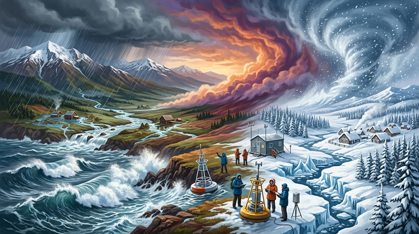
A warmer global average does not mean every location will have a mild winter. Some places may face heavy rain or flooding. Others may experience drought, unusual cold, or disrupted snowfall.



Common risks linked to El Niño include:
- Higher global average temperatures
- Shifts in tropical cyclone activity
- Flooding in some normally dry regions
- Drought and wildfire danger elsewhere
- Changes in winter storms and mountain snow
Forecasts also become less certain at local scales. Communities should rely on regional weather agencies rather than treating El Niño as a single worldwide forecast.
Efforts to Weaken El Niño Face Questions
Some scientists are examining whether human intervention could dampen El Niño. Such research falls within a wider debate about climate intervention and deliberate changes to oceans or the atmosphere.
Any attempt to alter the pattern would face major scientific and political hurdles. El Niño can cause damaging floods and droughts, but it may also bring needed rain to some areas. Weakening it could transfer risks from one region to another.
Researchers would also need to show that an intervention could be controlled, measured, and stopped. Ocean and atmospheric systems cross national borders, raising questions about consent, liability, and oversight.
Climate intervention would not replace cuts to greenhouse gas emissions. El Niño is a natural cycle, while the long-term rise in global temperatures is mainly tied to heat-trapping gases from human activity.
Preparation Remains the Immediate Response
For governments, the near-term task is preparation. Water managers can review reservoir plans, while emergency agencies can update flood, heat, and wildfire responses.
Farmers and energy providers also need regional forecasts. Changes in rain, snow, and temperature can affect crops, electricity demand, hydropower, and fuel supplies.
The winter outlook carries serious risks, but El Niño does not determine every storm or temperature reading. Its influence works alongside climate change and short-term weather patterns.
Scientists will watch Pacific temperatures and winds for signs that the event is strengthening or fading. The central question is not only how warm the season becomes, but where its most damaging effects appear and whether communities are ready.